


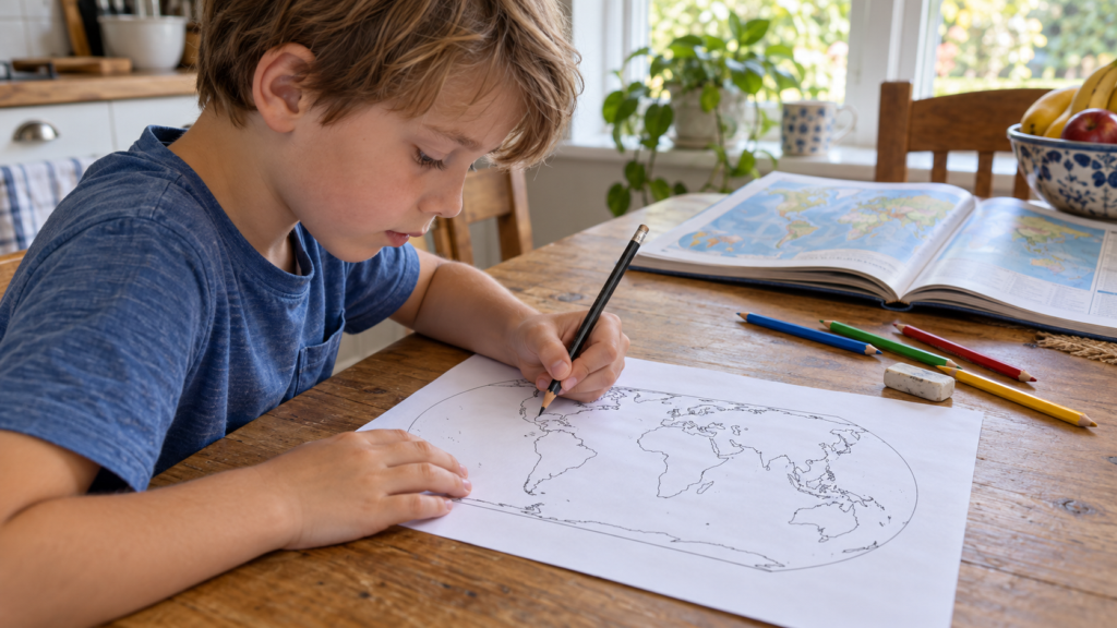
In a Russian school, such a map has a second name. Blank.
A blank map is a geographical map without names. For our set, we took its simplest version, just coastlines, without state borders and cities. It is silent until it is filled out. The word is old, from school, and a child from an American school is unlikely to be familiar with it, even though such sheets themselves exist there.
We made three such sheets for printing on regular A4. A clean map, a map with three tasks, and an answer key for adults.
Three sheets for printing
A4 format, landscape orientation. All three sheets are printed on a black-and-white printer.
Map with three tasks
Oceans, two continents, and their own country. The text of the tasks is printed on the sheet.
Download PDFKey for adults
Labeled oceans, shaded Africa and Australia, and the procedure for checking the third assignment.
Download PDFThe land outlines are taken from Natural Earth, this data is in the public domain.
What language will the map speak in
This is where the most interesting part begins for a family where a child is growing up between two languages.
A blank map will speak the language in which it is labeled. At school, the child saw the Pacific Ocean and the Indian Ocean. On our sheet, he will write «Tikhoy» and «Indiyskiy,» and perhaps, for the first time, these words will flow from his own hand. Many names that sound like Arctic or Africa in an English school, he previously only heard in Russian from his grandmother.
Ask him if he knows what his ocean is called in Russian. The one the family goes to for the sea.
Five words at the bottom of the page
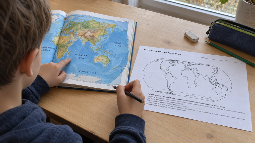
At the bottom of the worksheet, it is printed that there are five oceans on this map, and they are listed. There are no ocean names on the map itself.
The spelling can be checked from there, so the first task is within the younger child's ability, and the older one will manage without help. Only the names are printed under the map; they won't reach the water on their own. Where to place which one, the child decides themselves, and they make this decision using the atlas lying nearby.
The hardest one is the Pacific. It ended up on both sides of the page, on the left and on the right, and a child of about seven almost always asks how the same water got into two places. We have the answer in the article about orange peel, and if you have a globe at home, it can be found in a minute.
The line that is not on the water
On the sheet, one line is not a coast. The dotted line is at the bottom, above Antarctica.
This is the conventional boundary of the Southern Ocean, the fifth one. People drew it by agreement, and there is nothing like that on the water itself. In older atlases, the Southern Ocean is often not distinguished, and then there are four oceans. If you have an atlas from your grandmother's time at home, it is very interesting to compare. We have a separate article about why oceans are counted differently.
Africa and Madagascar
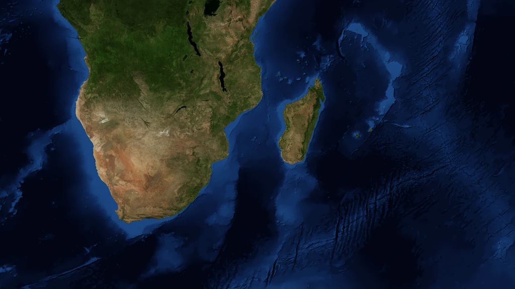
The second task is short. Africa in one color, Australia in another.
A child's hand will almost certainly reach for Madagascar and Tasmania because they are nearby. Therefore, before using pencils, it is worth pointing out the water between the island and the mainland. Madagascar is large, but it is an island. Australia is also surrounded by water on all sides, but it is a continent. Where the boundary lies between a large island and a small continent, geographers once agreed, just as they did on the dashed line.
A dot in an empty space
The third task returns to the muteness of the page. Find your country and place a dot.
There are no borders on the sheet, so first the country is found in an atlas with borders, they see in which part of the continent it lies, and transfer the location to the sheet. For a family in the US or Canada, this is North America, and then the child reasons for themselves. Is the ocean to the right of the house or to the left? South of the continent or north? The dot will be placed approximately, and that is fine.
And then there's one question that connects all three tasks. Which ocean is closest to home? The answer is already written in the child's hand, and it's written in Russian.
First lesson with a sheet
Place an atlas nearby or open a world map showing ocean names and country borders. First, the child finds the necessary place there, then transfers it to their own sheet. If writing is still difficult, the adult writes down the names while the child points to where they go.
Oceans
Check the spelling against the line at the bottom of the sheet. Start with the Pacific, it is on both sides of the map. If the child asks how this happened, do not explain right away, ask them yourself. The Southern is labeled between the dashed line and Antarctica.
Two colors
Before reaching for the pencils, find Madagascar on the map near Africa and Tasmania near Australia. Have the child point to the water between the island and the mainland. Only the mainlands are colored. If an island has already been colored in, it is not necessary to erase everything; it is enough to explain why it remained white in the key.
One's own country
First, the country is found on a map with borders. Then, they look at which part of the continent it lies in, and transfer the location onto the sheet as a dot. A small country is labeled outside the outline and connected to the dot with a line. At the end, ask which ocean is closest to home; the answer is already written in the first task.
When the sheet is filled, put the answer key next to it and let the child compare it themselves. The first sheet is not a test. Detailed guidelines for formatting and checking outline maps We have those sorted out separately; they are not needed for the first time. Save the blank sheet from the kit for later; in a week, you can mark the country where Grandma lives on it and draw a line to your dot.
About, outline map and we talked about how to use it separately. And how does it fit into home study geography, from the room plan to the globe, were also taken apart.
At Palme School, geography is taught as a separate course for children starting from four years old, online and in Russian, featuring maps, projects, and discussions. You can start with free trial lesson.
Frequently asked questions about the blank world map
What format should the map be printed in?
On standard A4 in landscape orientation. The map lines are vector, so they remain sharp even on a black-and-white printer.
Why are there no country borders on the map?
For this kit, we chose a map without state borders; it only shows the coastlines. A child can draw the state borders themselves if they wish, checking against an atlas, but they are not needed for the first tasks.
Why are there five oceans on a map, but four in an atlas?
There are five oceans on the map. The fifth one, the Southern Ocean, is outlined around Antarctica. It is often missing in older atlases. Both models are used, so the task explicitly states how many oceans are on this map.
What is the dashed line at the bottom of the map?
This is the conventional boundary of the Southern Ocean. It is drawn along the 60th parallel south. There is no such line on the water itself; it is an agreement.
What should I use to color the map?
With colored pencils, without pressing hard, so that the outlines remain visible. The colored mark does not always erase completely, so it is better to test the chosen color on a separate sheet first.
Can I do the tasks without an adult?
If the child can already find oceans and continents on a labeled map and knows how to read instructions, they can work independently and check the answer key afterward. The first introduction will require an adult, especially for the task that involves labeling five names.