

In the summer, a Russian-speaking family in the States was on a video call with their grandmother, and the mother asked her daughter to point out on a map the city where the grandmother lives. The girl is nine, her school is good, and her grades are excellent. She traced her finger across Eurasia, stopped somewhere in the area of Iran, and looked inquiringly at her mother.
No one started scolding anyone. Another question arose: how the girl could have known that at all.
Answer found in school materials over the past year. Two weeks about maps in early autumn. One project about the state where the family lives.
Nothing more.
Where did the item go

First, the mother went to look for the geography teacher. The teacher was not found, because the subject is not on the schedule. Geography in an American school sits inside social studies, along with history and civics, and shares the exact same hours with them.
Things got worse. It turned out that more than half of the eighth-grade teachers devote a tenth of this course's time or less to geography. That is, even the hours that formally belong to it are not spent on it.
The mother went to check if it had anything to do with their school. It wasn’t the school. In the 2020–2021 school year, only four states required a separate geography course in high school, whereas in 2009, sixteen did. The subject is disappearing from school curricula across the country—and it’s happening fast.
National testing shows what this looks like in terms of outcomes. In 2018, a quarter of eighth graders reached the proficient level in geography. This figure has remained roughly at the same level since the mid-nineties, meaning nothing has changed for over twenty years.
The neighbor from Ontario, to whom her mother recounted all of this over the phone, was surprised. The picture in Canada is different, although also uneven. Ontario is an exception here, where geography is called by its proper name and is mandatory in the ninth grade. In most other provinces, it is likewise dissolved in social studies and is almost nowhere taught as a separate subject until high school.
The conclusion turned out to be simple and unpleasant. If a parent does nothing, the child will grow up without geography. Not with poor knowledge, but without any at all, because there is nowhere for it to come from.
As for why a child needs this subject at all, we have a separate conversation. Here we will talk about something else, about the order of actions.
I found some good news there, too. At home, geography is easier than any other subject. She doesn't need a curriculum, workbooks, or a schedule. She just needs the right approach.
A System That Works
The main parental mistake looks nice and costs about forty dollars. It is a world map on the nursery wall.
A world map means nothing to a child under six. To a child, it’s just a colorful blur, because they can’t yet relate themselves to the image of a continent. You have to start from the opposite end—with what they can touch with their hands—and slowly zoom out, like a camera pulling back.
Room, yard, way to school, city, country, continent, planet. Each subsequent step the child takes when the previous one has become obvious to them.
In that family, this procedure had to be applied twice and in different ways. With the older girl, the mother descended back down, toward the city and the country, because the upper steps had turned out to be empty. With the four-year-old brother, they started from the bottom right away and in order.
Next comes step-by-step, and the age here is approximate. Children go at their own pace, while the order remains the same for everyone.
Steps from the room to the planet
The age is given approximately; children go through these stages at their own pace. The order remains unchanged, and you should not skip a stage, even with a very bright child. If the child is older and the lower stages were missed, you still need to start from the bottom. Catching up follows the same steps, only noticeably faster, and a nine-year-old only takes a couple of weeks to figure out a city map.
| Age | Step | What to do | A sign that it's okay to move forward |
|---|---|---|---|
| 3–4 years | Room | A floor plan on a sheet of paper, with the bed represented by a rectangle and the door by a line. A hidden object and a cross on the floor plan. The words “left,” “right,” “between,” and “opposite.” | The child draws a map on their own and hides the items according to it |
| 4–5 years | The Yard and the Road | A map of the yard, followed by a map of a familiar route with personal landmarks. Determining the cardinal directions based on the sun's position, checking with the compass on my phone | The child names the landmarks on their own and points out if something has been left out |
| 5–7 years | City | A map of the city you bought. Use a marker to mark the places you've been, plan your weekend itineraries, and go over them out loud | The question arises as to what is located in the blank spaces between the marks |
| 6–8 years | Country | Your country and the country of your relatives on the same map. Distance, flight hours, time zones using a globe and a desk lamp | The child explains on his own why it's already nighttime at Grandma's house |
| 7–9 years old | Continents and Oceans | The globe comes before the maps. One notable feature for each continent. Oceans based on their characteristics, not on a list. A leisurely exploration of one continent at a time | The question arises why a map and a globe have different sizes |
| Ages 8 and up | Outline maps | Manually adding features, coastlines, labels, and a legend. School-style format, familiar to the Russian curriculum | The continent is recognizable in any form and without captions. |
It's normal—and even necessary—to revisit the steps you've already taken. People return to the main continents several times over the course of a couple of years, each time at a new level.
The room where it all begins
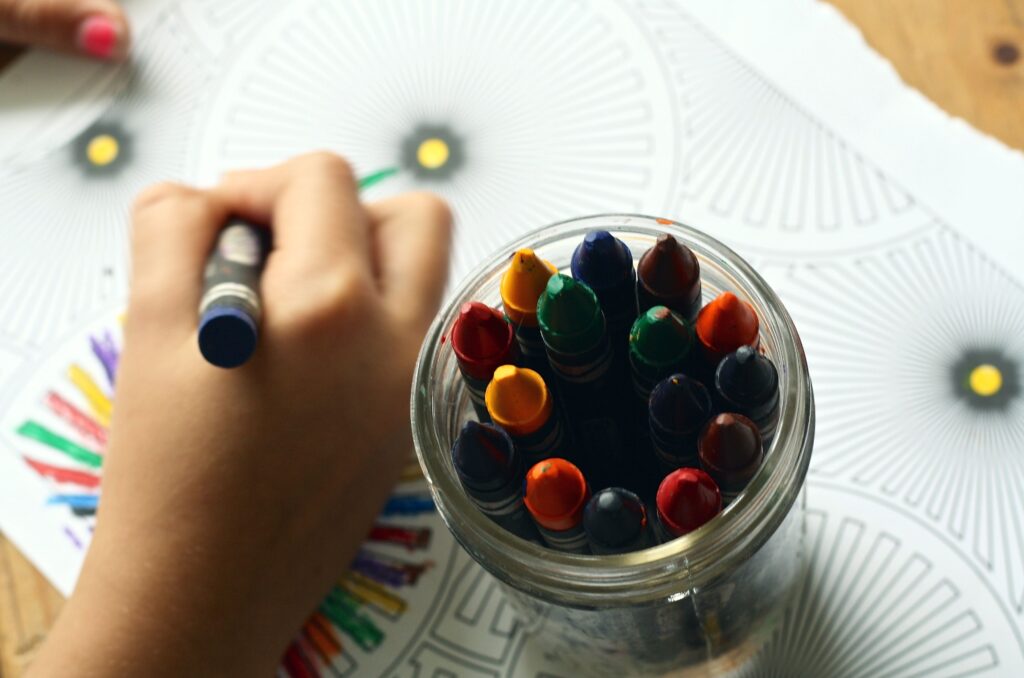
The four-year-old brother got his very first map on an A4 sheet of paper, and it was a map of his own room.
She and her mother drew it together. The bed was a rectangle, the table a square, the door a dash. At first, the boy didn't understand what it was for. Then his mother hid a candy under the pillow and marked the map with an X. A week later, he was drawing the maps himself and hiding candies for his mother.
This little activity contains the very essence of geography. Real space is turned into a drawing, the drawing is read, and one can act upon it. A child who has once found a candy using a floor plan will later understand a world map because they have already mastered the principle.
At the same time, the first spatial words appear: to the left, to the right, behind, between, opposite. For a child from a Russian-speaking family, this is also the Russian language, because no one at an English school will say «between the closet and the window» to him.
The courtyard and the road to the kindergarten
You have to leave the room, and around the age of four or five, the most interesting part begins.
First they drew a map of the courtyard, then a map of the road to kindergarten, and out on the road things got serious. The boy marked on paper everything he considered important: the corner with the mailbox, the house with the big dog, the tree whose leaves turn red in autumn. An adult cannot see these landmarks at all; they have street names in their head.
At the same time, another parental misconception was revealed. The adult explains from on high, from the general to the specific, while the child builds a map from the bottom up, from details they noticed themselves. It is pointless to argue with this; you just have to follow their order.
This is also where the cardinal directions come into play, and the easiest way to introduce them is through a game. In the morning, the sun shines at their backs, which means on the way from home the family is heading west. The compass on the phone confirms it, and the child is very pleased with himself.
The city and the first real map

A city map is sold in any bookstore and costs a few dollars. This is the first purchased map that is understandable to a child, and it is understandable for a single reason. It has his home, his school, and the park where he goes. With the older girl, the mother started right here, even though she was already nine. The places they had visited were marked with a marker, and quite quickly the daughter began asking about the blank spots between them. The question «what is over there» is the first sign that geography has started.
The routes are going great. Where the family will go on Saturday, which way, what they will encounter along the way. The child traces with a finger and names the streets out loud, and at the same time verbs of motion are settling into their speech, the eternal headache of bilinguals.
Two countries between which a child is growing
Countries come up in conversation on their own, around the age of six or seven. And here Russian-speaking families have an advantage that their street neighbors don't.
Such a child has two countries right from the start. One outside the window, the other in the phone, where Grandma is waving against the backdrop of a different kitchen. This is ready-made motivation, and it would be foolish not to use it.
We started with the simple things. We found our city on the map, found Grandma's, traced a line between them with a finger, and counted how many hours a plane takes to fly. Then my daughter asked why it was already dark at Grandma's, and half the day was spent on time zones, a globe, and a desk lamp.
At the same time, it turned out that the scene with the grandmother and the map could have been prevented with a single conversation. It's just that the family hadn't talked about it before; the map had hung on the wall in silence.
Continents, oceans and the globe
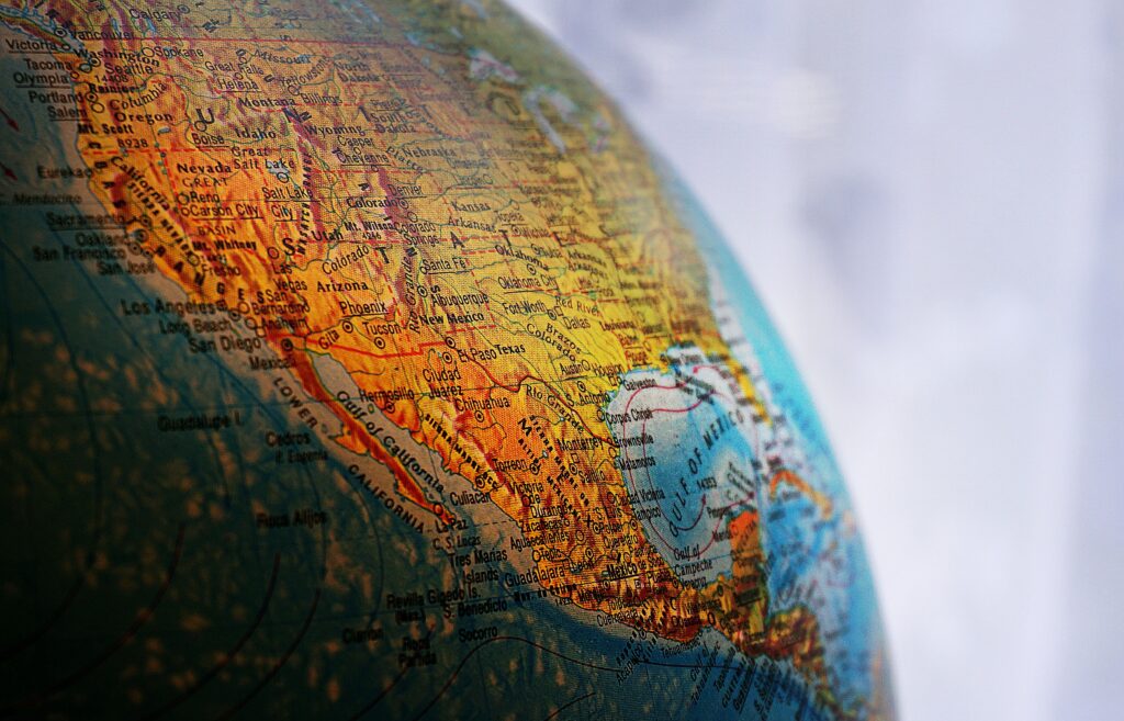
Now the large map and globe will finally come into use, and this happens closer to seven years of age.
By this point, the child knows that a map is a scaled-down piece of the real world because they started with their own room. The transition to continents happens effortlessly.
At the same time, a globe is more useful than a map, and it makes more sense to start with it. A map lies—it stretches Greenland to the size of Africa, and explaining why that happened to a seven-year-old is quite difficult. A globe doesn't lie, you can spin it, and it immediately shows that the Earth is round and that your country lies on its side.
Oceans are learned the same way and even easier, because there are few of them and each has its own character, from the Arctic to the Pacific, the deepest one. Continents are memorized in a week if you find something unique on each instead of learning them from a list. Penguins live on this one, the biggest desert is on this one, and his own house stands on this one. After that, you can take them one continent at a time and study them leisurely, for the entire school year if you like.
Games that work at home
All of them take a few minutes and require no preparation. The age is given as a guide; focus on the level the child has already completed.
Treasure according to the map
Hide some small items in the room and mark the spot with a cross on a drawn map. After a few times, the child will start hiding things and drawing by themselves, and this will be the first map they have ever made.
Map of our signs
Draw a route to kindergarten and ask your child to mark everything important. The adult marks the intersections, the child marks the house with the dog and the bush where the cat lives. No need to argue, he is making the map.
Where does the sun shine
In the morning on your way out, determine the cardinal direction by where your shadow falls and check it with the compass on your phone. In a week, your child will be calling out the direction before you do.
City marker
Mark every new place you visit on the city map. The marks accumulate, and along with them, the white space between them builds up, which the child will definitely ask about.
Night at grandma's
A desk lamp and any small ball show time zones in five minutes. After that, you can figure out what time it is for your relatives and call at the right moment.
One thing per mainland
Instead of memorizing a list, find something memorable on each continent. Penguins, the largest desert, the longest river. The names will attach themselves to the images.
Where did this come from?
Continuation of the stage with countries. Over dinner, look at the stickers and packaging and find the countries of origin on the map, next to yours and grandma's. Bananas, coffee, and olives quickly fill the map with familiar points.
Greenland vs. Australia
Compare the sizes of the same places on a flat map and a globe. The discrepancy is striking, and the conversation about projection distortions starts on its own.
What is worth buying and what is not
Globe over world map
A globe honestly shows the size and shape of the planet, while a flat map stretches the circumpolar regions. For a child under eight, a globe is more understandable and useful, whereas a world map on the wall functions like wallpaper before that age.
Map of your city
The most underrated purchase. It costs just a few dollars and turns out to be the first map on which a child finds their own home. That is where real interest in all other maps begins.
Continents puzzle
It works better than a poster because the hand remembers the shape of a continent more reliably than the eye. For the same reason, outline maps that the child fills in themselves work even better later on.
Outline maps and school format
The outline map appears in this story last, starting around age eight, and there is no longer any hint of games there.
A blank outline map is needed because a child draws objects on it by hand, and the hand remembers better than the eye. Trace the coastline of Africa just once, and Africa will be recognized afterward in any form.
In the American school this format is almost nonexistent, whereas in the Russian one it is the main one. For a child from a Russian family, this is an additional argument, because grandma's school stories about atlases suddenly start to make sense.
Three mistakes that almost everyone makes
The mother made three mistakes with the older girl, and all of them were typical. Each cost several months, and they were not repeated with the younger one.
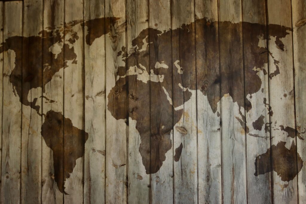
The first mistake is starting from the top, with a world map. That map had been hanging in the nursery long before the summer call, and it took almost a year before it became clear that for the child it was just wallpaper. The second is scheduled lessons, on Wednesdays after dinner. Interest died faster than it had time to appear, because geography does not tolerate coercion well and lives wonderfully in conversation. The third is questions like «where is Peru,» to which the child remains silent. One must ask differently, «well, what do you think, is it hot or cold there,» to that one can always answer.
Another observation, not about mistakes anymore. Geography is impossible to learn just once. The family returned to the continents several times over two years, each time at a new level, and that is normal, that is how it is structured.
Where is this done systematically

At home, geography is all about conversation, and that goes a long way. The problem begins when the child wants more and wants to know more than the parents do.
At Palme School, geography is taught as a separate course, entirely in Russian, and children are accepted starting at age four. The value here is twofold. The child gets a subject that is not taught in their regular school, and learns it using the vocabulary they will later need when talking to relatives.
You can start with free trial lesson, to meet the teacher and see how the class is conducted.
Home
Geography is barely taught in an American school, and there is no one to replace it except the parents. There is nothing wrong with that; at home, it is easier than any other subject.
One principle works. Go from what the child touches with their hands to what they only see on a globe, and do not skip steps. Room, yard, city, country, continent, planet.
By winter, the girl with whom it all began was showing her grandmother's city without a single hesitation and knew that the flight there takes ten hours. And recently she asked why Greenland looks bigger than Australia on a map, but smaller on a globe. They had to figure it out together.
Frequently asked geography questions for kids
At what age should you start teaching geography to a child?
From about the age of three, if by geography we mean the floor plan of one's own room and words like «left» and «between.» A city map becomes understandable around five years old, countries at six or seven, and continents and the globe at seven or eight. The ages are approximate; the order in which these steps occur is more important.
Is a world map needed on the wall in a children's room?
Until the age of six, it mostly functions as wall decoration. It starts to make sense after the child has learned the city map and figured out where their country is on it. Until this stage is passed, it is wiser to invest the money in a globe; it is both easier to understand and shows sizes more honestly.
How to teach geography to a child if the parents themselves are bad at it?
That is more of an advantage. It is more interesting for a child to figure things out together than to listen to ready-made answers, and the phrase «let's find out» works better than any lecture. You only need to know a little in advance, everything else is looked up along the way, and a joint search is remembered much better than a retelling.
How much time per week should be spent on geography at home?
It is better not to set aside any separate time at all. Geography lives in conversations on the way to school or kindergarten, at dinner, and during calls to relatives, and in this form it is absorbed without resistance. A schedule turns it into a lesson, and the child starts avoiding a lesson.
How is geography useful for a bilingual child, separately from general knowledge?
It provides a language to talk about one's second country. A child who understands where grandma's city is, why it gets dark earlier there, and what the winter is like there, talks to relatives substantively, instead of using polite general phrases. Plus, geography naturally helps master prepositions, verbs of movement, and cases, which are difficult for bilinguals when detached from meaning.