
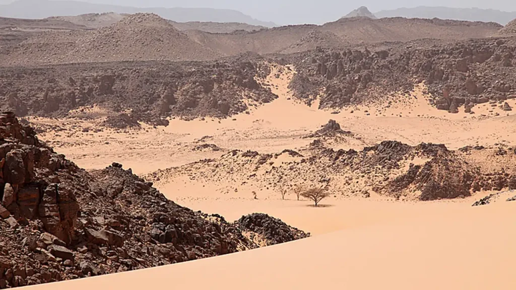

From a trip to Sahar in November 2005, researchers brought back two pieces of stone, each about twenty centimeters across. They took them to the neighboring valleys near the Gebel Uweinat mountain range, at the junction of Egypt, Libya, and Sudan.
In one of the valleys along the cliff there was a strange protrusion stretching for more than fifty meters, almost at the same height. It seemed that something had adhered to the wall and hardened.
Chris McKay compared such deposits to a strip on a bathtub that remains after the water has drained away. Only here, instead of a bathtub, there was an entire valley. And no one drained the water from it.
McKay and Margarita Marinova actually came for the microorganisms living on rocks. They were interested in how much dryness life could withstand. They traveled with a group of researchers led by Andras Zborai. In one expedition, they met people who were interested in very different traces on the rocks. The discovery and the participants of the trip were told about it Astrobiology Magazine.
What was in the two stones
The samples were tested in the laboratory. The composition and structure of the deposits were also important, as well as how they were arranged in the valleys. All of these factors indicated that the deposits were once part of a freshwater body. The age of the deposits was estimated at approximately eight to nine thousand years.
But there were many quartz sand grains in the samples. The authors suggested that the wind brought sand when there was water in the valleys. The vegetation around could have remained sparse. The lake in the middle of the arid area was also a lake; it did not necessarily rely on dense forest and green banks.
This is exactly the kind of restrained picture that Marinova, Nela Mekler and McKay describe in scientific article about the find.
And the swimmers were somewhere else.
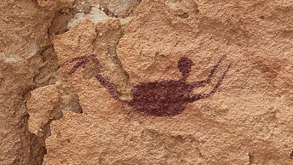
About two hundred kilometers from the found deposits is the Cave of the Swimmers. This is a rocky shelter in the southwest of Egypt, where small human figures are drawn. Their legs are bent and their arms are extended.
In 1933, Laszlo Almash saw swimming in these poses. He suggested that the artists were depicting a life familiar to him, and that the desert was previously wetter.
The name has stuck. Interpreting the drawings is more difficult: researchers admit that the figures have symbolic meaning. The lakes found by themselves do not invalidate the dispute. They are far from the cave, and the coincidence of the time of the water body's existence and the creation of the drawing still needs to be proven. These reservations also apply to a story about the research.
On the children's map it is easy to connect two points and create a beautiful story: artists lived here, people went swimming there. But we just don't know that. It is possible to mention the cave and the ancient lakes separately, leaving the road between them without an invented route.
The behemoth remained on the wall
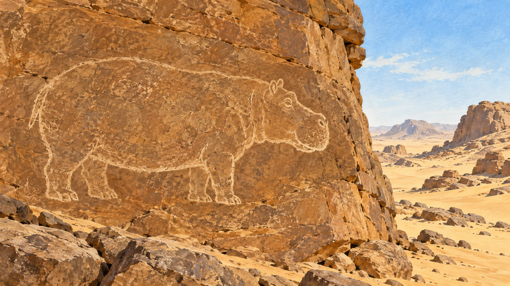
In Algeria, far to the west of the Cave of the Swimmers, there is another place with rock carvings, the Tassil-Ajger plateau. Among the animals depicted are hippos. A living hippopotamus needs water, and the surrounding dry rocks are now the place for its drawings.
Thousands of images from different periods have been preserved on the plateau. There are scenes with livestock; later, horses and camels appear. Archaeologists find traces of settlements and pottery and stone tools nearby. By examining them, they learn how people lived here and how the conditions around changed. All this is described in Tassil-Ajera page at UNESCO.
The map of natural zones that we open at home has a different purpose. It shows today's deserts, forests, and savannas. An ancient dinosaur cannot be depicted on it. To learn about the past of this place, one atlas is not enough.
From the Sahara to the forests of the Congo
After the desert cliffs, it is worth opening a map of all of Africa. The Sahara will take up a huge portion of the north, but not all of it.
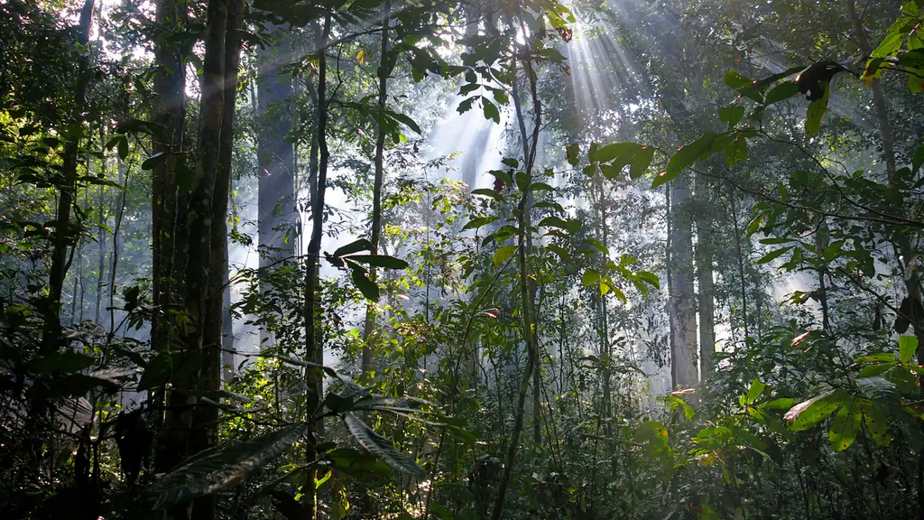
South of there are savannas. These are grassy spaces with trees and shrubs, where there are rainy and dry seasons. Further away, in the Congo basin, there are humid forests. They do not have to recreate the ancient landscape: they exist now.
The word «warm» applies to many places on this journey, but it explains little. Trees need water. It matters how much rain falls and whether it will stop for a long time.
In the equatorial region, forest areas also do not occupy the entire width of the continent. In eastern Africa, there are savannas and highlands. South of the Congo forests again find savannas, then arid territories. Look for the Namib Desert along the southwestern coast, and Kalahari within the southern part of the continent. You can check the location by looking at the following map: an overview of natural areas in Africa.
Therefore, it is not worth folding the map in half and waiting for the forests and deserts to match. A similar pattern is sometimes visible, but there is no exact repetition.
Africa north and south of the equator
Forests, savannas, and deserts are compared on a map of natural zones; mountains and rivers on a physical map. Each row is a task of finding both halves of the map and checking whether the order is repeated.
| What are we comparing | North of the equator | South of the equator |
|---|---|---|
| Closest to the equator | The northern part of the humid forests of the Congo basin | The southern part of the forests of the Congo basin; in the east, near the equator, there are savannas and highlands |
| Further from the equator | Savanna, grass with rare trees | Savanna, grass with rare trees |
| The driest lands | Sahara, the largest hot desert in the world | Kalahari and Namibia |
| Mountains | Atlas in the northwest | Dragon Mountains in the southeast; Kilimanjaro with snow almost at the equator |
| Major rivers | Nile, Niger | Zambezi, Orange |
| Major cities | Cairo, Lagos | Johannesburg, Cape Town |
The strips in the north and south are similar in order, but do not exactly repeat each other: each half has its own mountains, rivers, and shores.
Water reaches Cairo
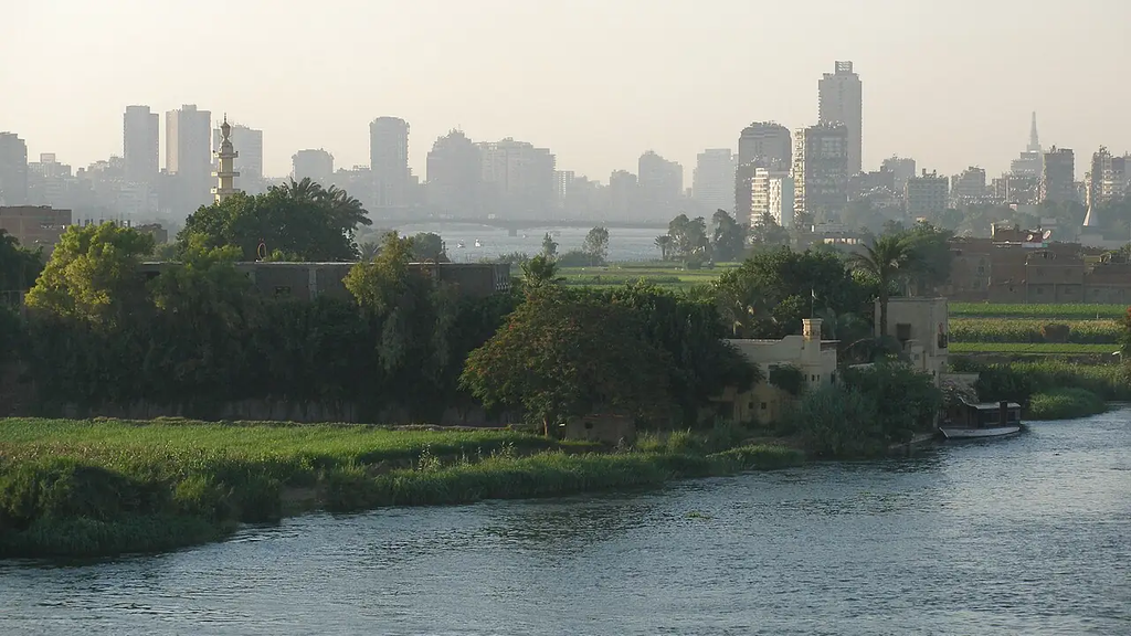
In Egypt, you can see the remains of the disappeared lakes, or you can stand on a bridge over the Nile. The country is the same.
In Cairo, the river has a quite ordinary environment: houses, roads, and transportation. Fields stretch along the valley. On the satellite image, the greenery is especially noticeable near the dry lands. Along the Mediterranean Sea, this strip widens into a delta.
The Nile brings water to Egypt from the southern regions of its river system in other parts of Africa. Therefore, rare local rains do not prevent the large river from crossing the desert.
An ordinary physical map will be useful here. It can be used to trace the river against the flow from Egypt to the south. It is not necessary to memorize all the tributaries for now. It is enough to see that the water is coming from far away and the desert border does not stop it.
And at the same time, leave Cairo on the map. In the article about Africa, he has no less of a place than a cave or a giraffe.
Kilkimanjarro also has to be found in height.
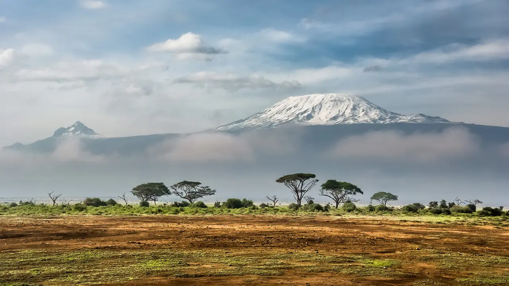
In East Africa, in Tanzania, there is Mount Kilimanjaro. It is not far from the equator; at the top there are glaciers. The height of the peak is 5,895 meters, which is the highest point on the continent. The glaciers are shrinking, but they still remain; this is mentioned in the description of the Kilimanjaro National Park.
On the map, the peak is marked with a very small symbol. It is difficult to imagine that it is almost six kilometers above sea level. However, at that altitude the temperature usually drops, and there is usually frost near the peak, although it is warm at the bottom.
One question, «How far from the equator?» is not enough for this mountain. A second question is needed: «At what altitude?»
What to leave on your map
On a contour map, you can mark the Cave of Swimmers, the forests of the Congo Basin, the Nile, Cairo, and Kilimanjaro. It is best to find the location of the cave in advance on a detailed map: in a school atlas, such a sign may not be there.
Near the cave, write «ancient drawings.» If the child wants to add a lake with people swimming, they can leave that drawing separate and sign it «our version.» On the map, we mark what we know.
For forests and savannas, the child can choose their own colors. A small legend is needed for another person to understand the coloring. The arrangement of the zones is compared with the atlas, not the color of the pencil.
And there is also the possibility of returning to the two stones from the beginning of the story. They don’t fit on the map; they are too small. But without such discoveries, we would know much less about what used to be in the place of the large yellow spot of the Sahara.
Other tasks with a map are collected in guide to home geography. And if the child counted not so many continents in the school atlas as you remember, an article about that will help to figure it out., How many continents are there on Earth.
At the Palme School, children from the age of four can study geography online in Russian. You can meet the teacher and learn more about the course format at free trial lesson.
Frequently asked questions about Africa
How many countries are there in Africa?
In Africa, there are 54 UN member states. In addition to them, there are territories with special or disputed status, so the count in different sources may differ slightly.
Was the Sahara always a desert?
No. Several thousand years ago, the Sahara was noticeably wetter. Geologists find deposits of ancient freshwater lakes, and on the rocks there are preserved drawings of animals that need water, such as hippos. But even then, the vegetation around some of the lakes could remain scarce.
Is it true that it’s always hot in Africa?
No. It’s cold up in the mountains even near the equator; glaciers lie at the top of Mount Kilimanjaro. And in the southernmost part of the continent and in the deserts, it gets chilly at night.
Which river in Africa is the longest?
The Nile. It is considered one of the two longest rivers in the world, along with the Amazon, and which one is longer depends on how it is measured.
What languages are spoken in Africa?
Arabic is widely spoken in the north, while English or French are the main languages in many countries south of the Sahara. Alongside these, there are hundreds of local languages, and many people speak two or three of them from childhood.
Why do the stripes on the map of Africa repeat north and south of the equator?
Where there is warmth and plenty of rain, wet forests grow, like in the Congo basin. The less rain there is, the more often the forest is replaced by savanna and then desert. To the north and south of the equator, this order is similar; however, the forests do not extend across the entire continent: in the east, near the equator, there are savannas and highlands.