

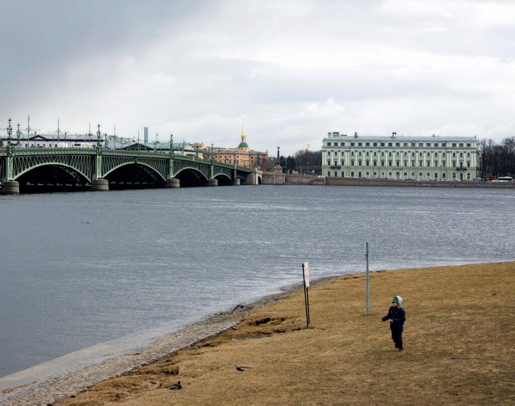

Something suspicious is happening on the bridge with the right bank.
Stand facing the river. On the right is one bank, on the left the other. Now cross the bridge, turn around and look at the same water. Your right and left sides have swapped places.
The coast, however, did not change.
If the map says «right bank of the Volga,» it will remain right regardless of which side you come from, where you are looking, and whether you are even facing the river.
Geographers have a simple rule for this: to determine the banks, you have to mentally stand in the middle of the river facing the direction where the water flows. What appears to be on the right is the right bank; on the left is the left bank.
It sounds easy until the child asks the next question:
«And how do I know where it flows?»
Here, the river on the map is finally starting to move.
First, find out where the water is going.
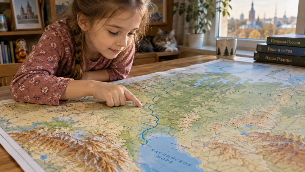
The river has a source and a mouth; on a simple map, they look like two ends of a blue line.
The beginning is called the source. A river can begin from a spring, a lake, a swamp, a glacier, or from the joining of small streams. Then the water flows along its course, receives tributaries, and eventually flows into a body of water somewhere.
The place where it ends its journey and gives its water to another river, lake, sea, or ocean is called the estuary.
Therefore, for the right and left banks, it is not necessary to guess about north and south. One thing only needs to be understood: where the river has a mouth.
Let's take the Volga.
On the map, its upper end is located on the Valdai Plateau. After that, the river flows through the European part of Russia and ends at the Caspian Sea.
If you trace the finger from the source to the Caspian Sea, the finger moves down the stream.
Now imagine that you become very small and stand on this finger facing that way. The right hand will point to the right bank, the left to the left.
The exact same thing is happening on the real river.
The river can turn, but the banks will remain in place.
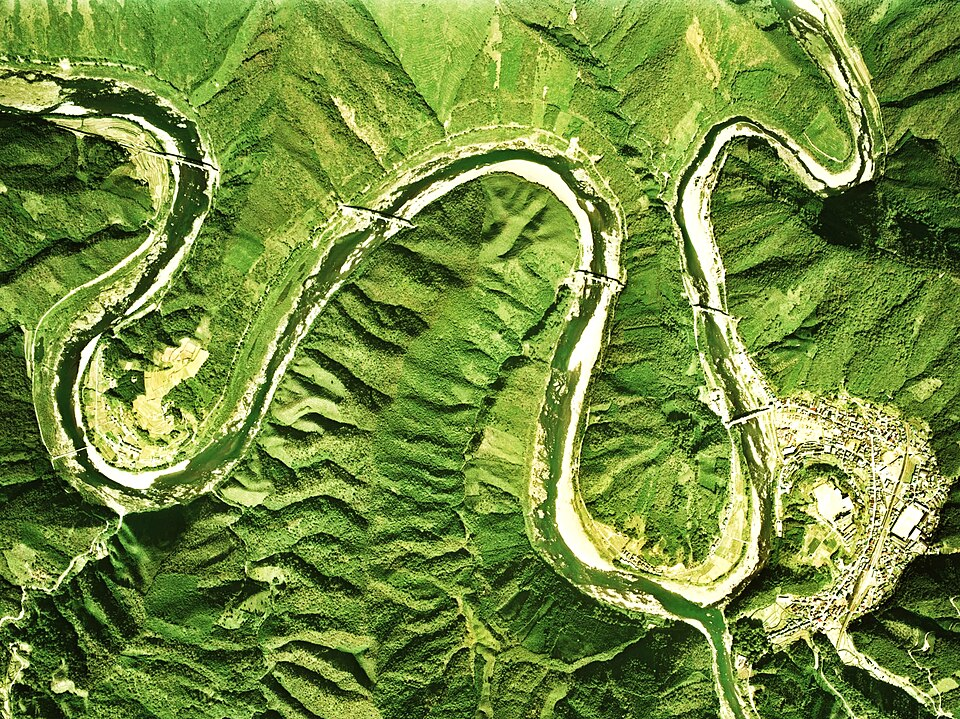
This is where the second argument usually begins.
The river is not a straight line. It curves. Sometimes it forms such a loop that the water flows back almost in the same direction it came from for a while.
Does that mean that the right bank somewhere around the turn becomes the left bank?
No.
Right and left here are not tied to the sides of the light, but to the movement of the water.
Imagine a boat that is floating downstream and does not turn its nose back. The river bends, and the boat bends with it. The right side of the boat is constantly looking at the right bank.
On one stretch of the river, the bank may be located further east of the water. After a major turn, it will be located further north or west. For the river, this does not change anything.
On a paper map, it is convenient to move your finger in this direction. Follow the riverbed towards the estuary and periodically imagine where the right side of your finger is. In a meandering river, the hand will constantly change direction, and there is no name for the bank.
Oka comes from the right, Kama from the left
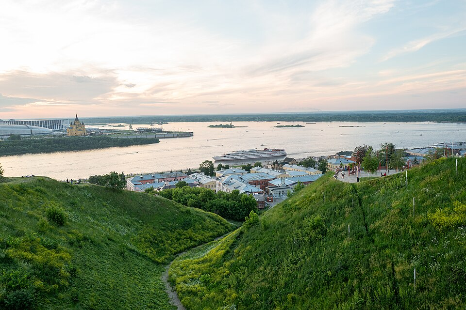
With inflows, the rule becomes more interesting.
A tributary is a river that flows into another river. It has its own flow, its own banks, a source, and an estuary. But when geographers call it the right or left tributary of a large river, they are again mentally looking down the flow of the large river.
There are two well-known examples of the Volga that are easy to find on the map.
The Oka is considered to be the right tributary of the Volga River.
Kamah is on the left.
It is not necessary to memorize these two phrases separately. It is better to find a place where Oka approaches the Volga once, then move your finger along the Volga to the Caspian Sea and see from which side Oka came.
Then do the same thing with Kama.
If the child got it wrong, the card allows for a faster resolution than the textbook.
Then you can choose any river where the tributaries are clearly visible, and no longer need to ask an adult whether the tributary is on the right or the left. Just find the direction of the main river.
Why the word «down» on the map doesn't guarantee anything
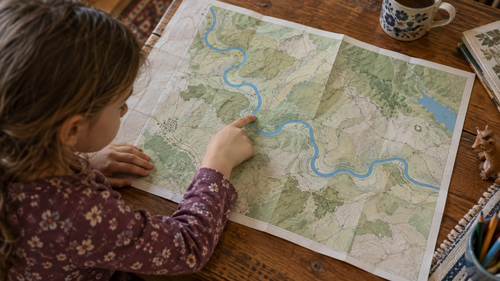
There is a trap that is especially visible to children.
We say «downstream of the river,» and we want to run our finger down the leaf.
But in most maps, the north is at the top, and the water does not have to flow from north to south at all.
The river can flow north, east, west, change direction several times and only then enter the sea.
«Down» here does not mean the bottom of the page.
That means downstream.
The same goes for «higher up the river» and «lower down the river». The city that is lower down the river is not required to be lower on the wall map. It is simply located further down the direction where the water flows.
Once you see it on a real meandering river, the expressions that adults usually give a child as ready-made terms stop being strange.
You can check the map without a card on the bridge
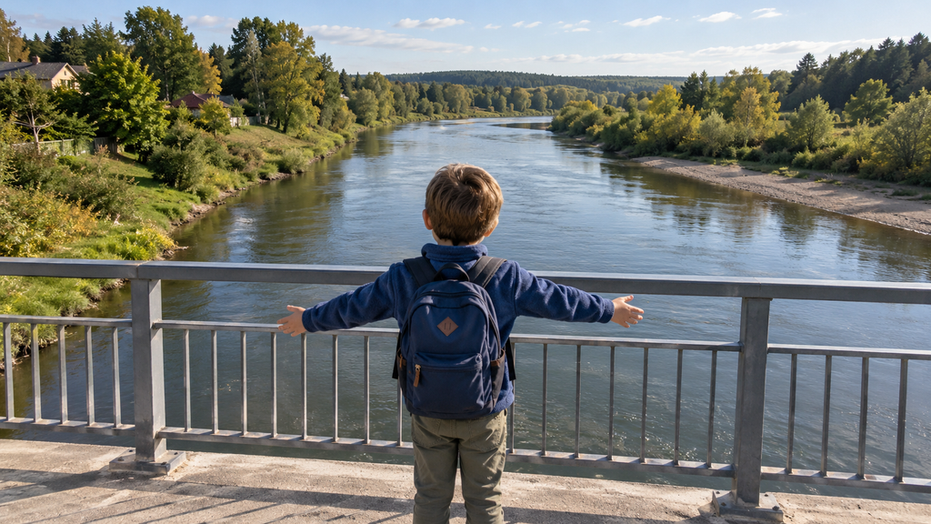
If there is a river and a bridge nearby, the rule can be checked on the spot.
First you need to understand the direction of the current. Sometimes it is visible right on the surface of the water. On a calm stretch of water, it is sometimes easier to see where the foam, leaf or small twig is being carried away, already floating on the water.
Now stand on the bridge facing that direction.
The coast on the right hand side is on the right.
You can go to the other side of the bridge, turn around, look back and make sure that your own right has changed, but the geographical name of the shore has not.
Then turn back towards the current and everything will be back to normal.
Children usually get by with just one such occasion. After that, the phrase «the right bank is determined by the flow of the river» ceases to be a rule to memorize; it becomes a way to test the answer.
If there is no real river nearby, the bridge replaces the drawn line. Draw a meandering river on paper, place a river flow arrow, and draw a person in the middle of the riverbed. Then move the person around the bend.
He won't get confused about the shore if he watches it every time with the water.
The Istok is small, but the river can be huge.
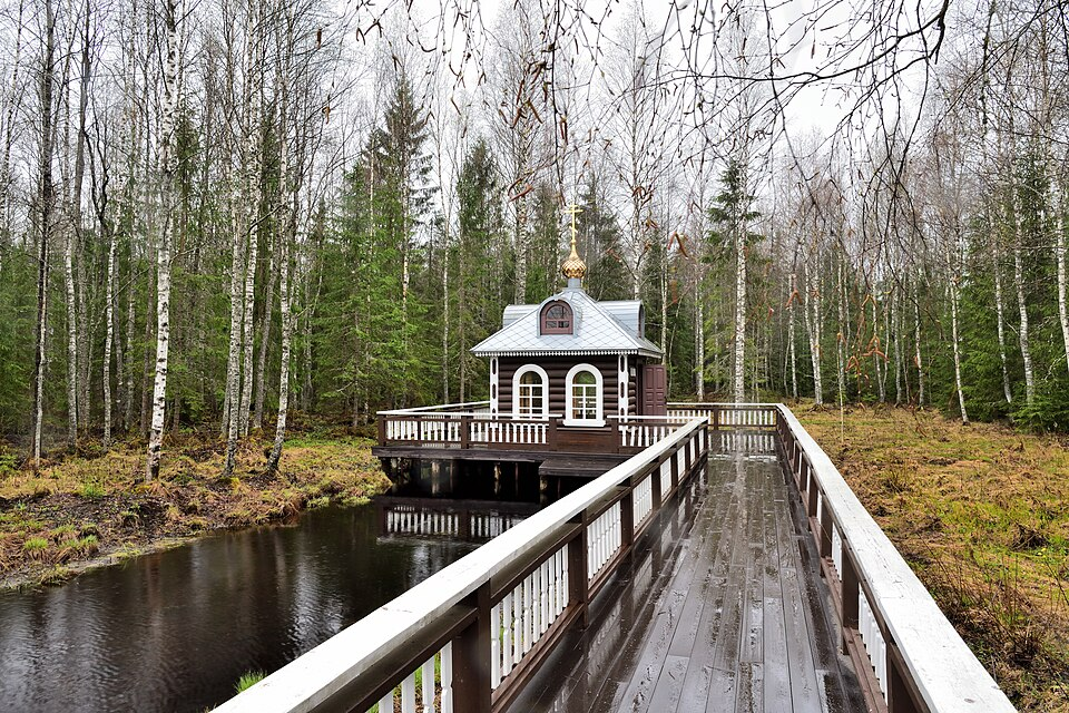
After the game with the banks, another strange thing is revealed on the map.
A large river does not have to start big.
At the headwaters of the Volga it is a small stream. Further on, other rivers come into it, the water becomes larger, and the channel changes.
On the map, it is convenient to read it in reverse.
First, find a wide, familiar river near a large city. Then, follow the finger against the flow.
The river becomes smaller and smaller, the tributaries remain behind until the line finally ends.
This is the source.
Now you can go all the way back, already with the water.
Along the way, it is easy to see what the list of terms «source, stream, inflow, estuary» does not include. The river collects gradually. It receives water from a large area; small streams join larger ones, and the entire system eventually flows into another body of water.
Therefore, the two ends of the blue line mean completely different things.
One place where the flow begins.
Another place where it came from.
The river map has a direction.
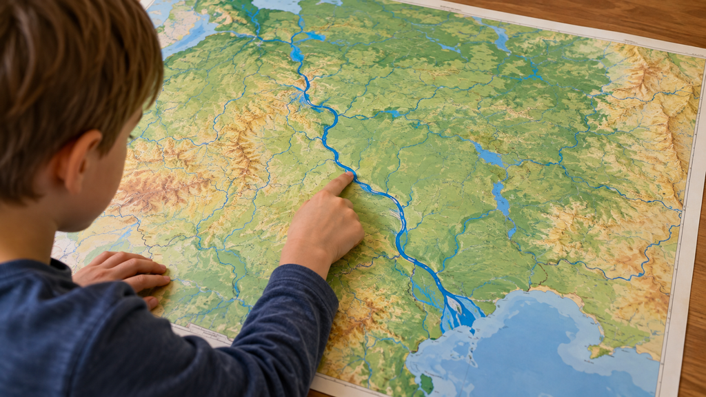
On a normal political map, you can spend a long time looking at the cities and not think about where they are going. Moscow remains Moscow, Kazan remains Kazan, the border doesn’t move anywhere.
That doesn't work with a river.
To understand it, you have to ask the question about the direction every time.
Where is it flowing?
What was higher?
What will be below?
Which river flows into this place?
On which bank is the point located?
Because of this, the blue line on the map is not just a line.
It has a beginning, an end, and a side from which it should be viewed.
And if the child asks again at the bridge which side of the river is the right one, you don't have to point with your finger.
First, ask him:
«Where does the water flow?»
Three tasks with a river and a map
You only need a map that clearly shows the rivers. For your first trip, it’s best to choose a large river with a distinct source, estuary, and tributaries.
Run your finger over the river
Find where the river begins and where it flows into the sea. Run your finger from the source to the mouth and say out loud: «I am moving downstream.».
How to check
The finger should move with the water to the place where the river flows into the sea. The direction up or down on the map itself does not matter.
Find two shores
Stop at any point on the river and imagine that you are standing there face down in the current. Which bank will be on the right? Which on the left?
How to check
Continue forward, especially through the large river bend. The right bank will remain to the right, although it may be already north or west of the river.
Determine the direction of the inflow
Find the river that flows into the selected main river. Don't look at the answer in advance. Decide whether it is a right tributary or a left tributary.
How to check
Again, look downstream along the main river. If the tributary comes from the right, it is the right tributary. If from the left, it is the left tributary.
If the child made a mistake: Don't tell me «right» or «left.» Go back to the one question: where is the water flowing now? После этого ответ обычно находится сам.
Когда синяя линия на карте начинает двигаться
На занятиях дети не только запоминают названия. Они ищут ответы по карте, сравнивают места, объясняют, что заметили, и постепенно учатся читать карту как источник информации. Познакомиться с преподавателем и форматом можно на бесплатном пробном уроке.
Try a geography lessonЧастые вопросы про реки для детей
How to quickly determine the right and left banks of a river?
You need to look where the water is flowing. The right bank will be on the right side, the left on the left. Where the observer himself stands and where he was looking before do not matter.
If the river flows north, what does it mean «downstream»?
«Downstream» means downstream, not down the map. Therefore, the river can quite well flow upstream if its flow is directed northwards.
How is the source different from the estuary?
The source is where the river's continuous flow begins. The estuary is where the river flows into another river, lake, sea, or ocean.
How to tell if it is a right-hand or left-hand flow?
You need to look downstream of the main river. If the tributary flows from the right side, it is the right tributary; if from the left, it is the left tributary.
Is it possible to determine the direction of the current by looking at the water surface?
In a calm area, this can help, but near the shore, bends or supports of the bridge can cause turbulence, and the water surface can also be moved by the wind. If in doubt, it is best to check the direction using a map.
What to do if a child gets confused about the banks after turning a river?
Don't ask to remember the position on the sheet. Find the direction of the flow again and mentally turn around with the water. The right and left sides are determined anew based on the direction of the flow, and the names of the shores do not change in the process.